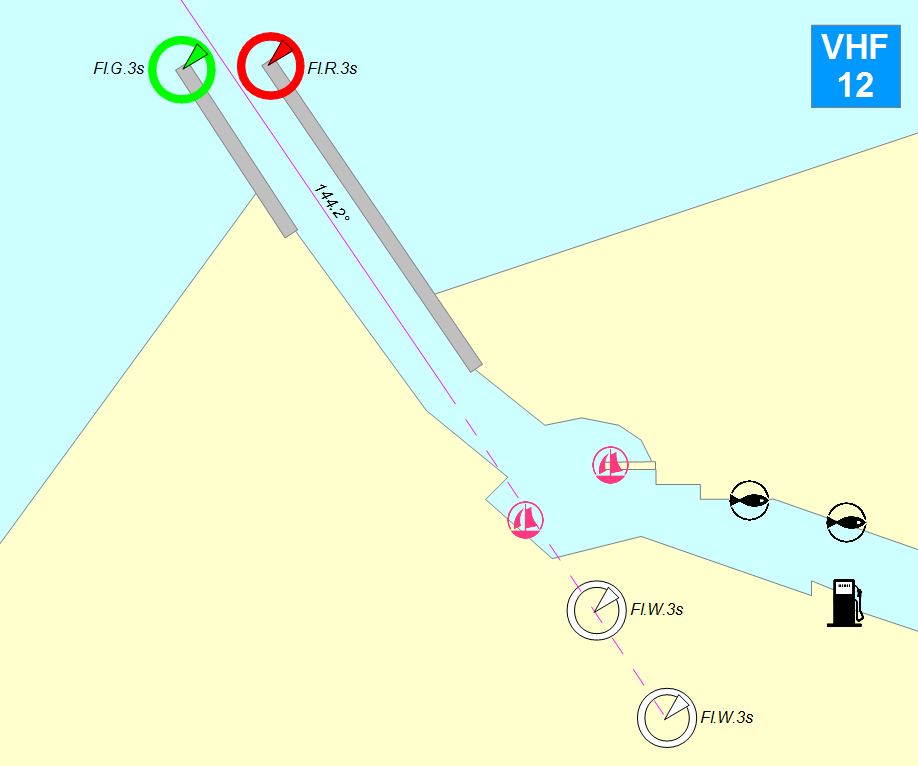
Navigation
- VHF radio: Channel 12
- Harbour coordinates: 56°53.5’N, 21°10’E
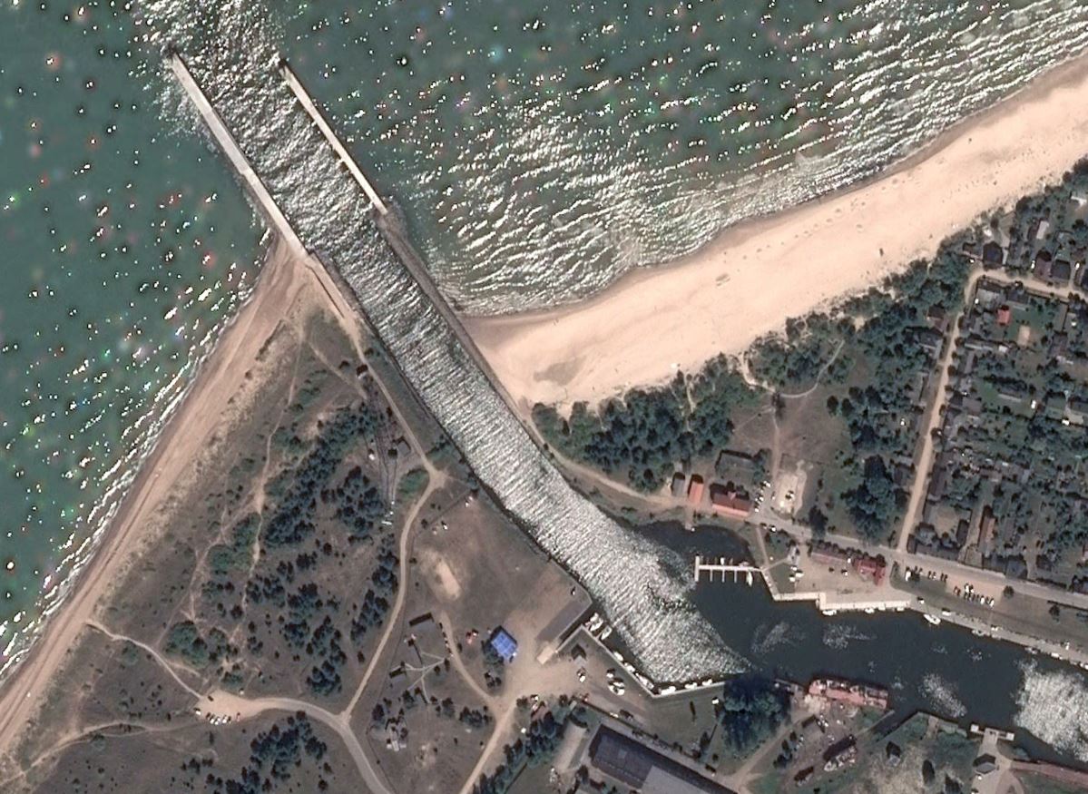
- Leading line: direction 144.2°, Fl.W.3s
- Reception buoy: on leading line, 1 nm from port entry, 56°54.34′N, 21°08.94′E, Mo(A).W.10s
- Mole light beacons: Fl.G.3s and Fl.R.3s
- Depth in harbour: 3.5 m, depth at piers 2.0-3.5 m.
Sandwaves exist at the entry of the port. Depths occasionally can be less than charted (2.8 – 4.0 m)